Amazon Wet Pockets
Year
Category
Medium
Location
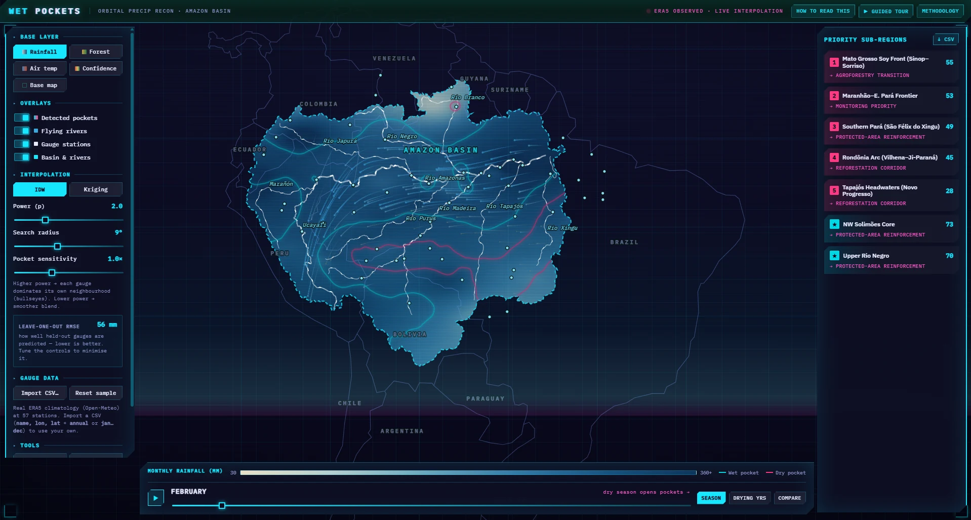
An ecological reconnaissance tool that interpolates sparse rainfall data across the Amazon basin to reveal moisture-recycling zones — "wet pockets" — and the emerging desiccated areas where deforestation is breaking the forest's rain-generating cycle. The interface supports live interpolation via IDW and kriging methods, animated moisture-flux visualisation, and seasonal playback so users can watch canopy loss ripple outward into regional precipitation patterns before wider damage is visible on satellite imagery.
Layers of hydrology, forest cover, and rainfall stations are stitched together into a single continuous surface, exposing where the forest is still generating its own rain and where the pump is failing. The visualisation is aimed at conservation practitioners and educators making the case that the Amazon is not just a carbon store — it is an active hydrological engine.