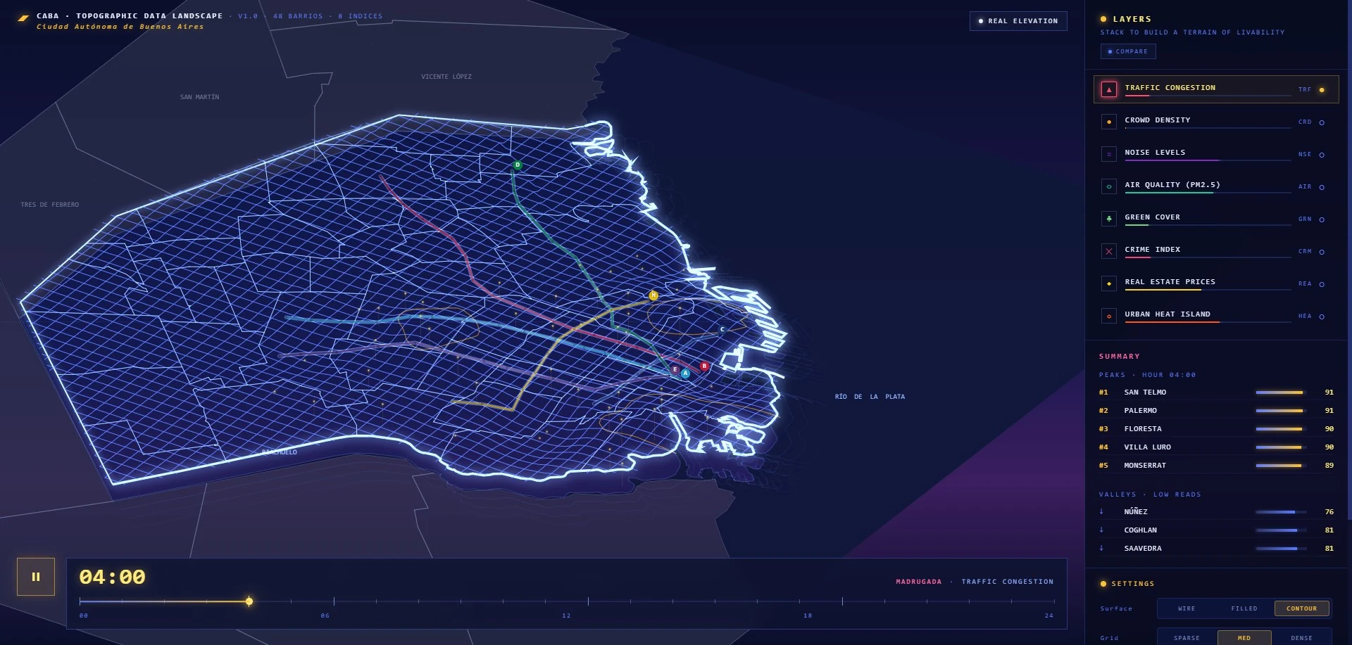
Topographic Map / Livability Index
Buenos Aires Livability Landscape
Year
2026
Category
Data Visualisation
Medium
Topographic Data Landscape
Location
Buenos Aires, Argentina
A 2.5D data landscape that stacks eight livability indicators — green cover, traffic, noise, crime, air quality, crowd density, real estate prices, and urban heat island — into a single dynamic terrain across Buenos Aires’s 48 barrios. A weighted composite inverts negative pressures so peaks rise where the city lives best, with a 24-hour playback exposing how the surface breathes across the day.