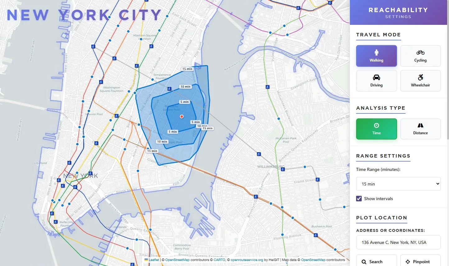
Isochrone Map / GTFS
Reachability in NYC
Year
2024
Category
Data Visualisation
Medium
Isochrone Map
Location
New York, USA
An isochrone-based transit reachability tool for New York City — answering the simple but surprisingly complex question: will I reach on time? Users can set a departure point, time of day, and travel window to visualize exactly how far the MTA's subway and bus network can take them, exposing stark inequities in transit access across the five boroughs.